


The prefabs
Mottingham was once a small village largely surrounded by farmland. At the beginning of the 1930’s the London County Council bought the Court Farm Estate and began the building of the red-brick 2,000-home Mottingham Estate, the first houses were occupied in 1935. After the Second World War, on some of the remaining adjacent farmland, an estate of prefabs was built, created primarily to provide short-term housing for young families in need of accommodation following the devastation caused by the blitz, whilst a programme of long-term rebuilding in London and its suburbs was being initiated in the aftermath of the war.
Of American design and materials these prefabs were detached, made of compressed wood-product panels on a 2’6” module, were cheap to make and easy to build. This became known as the Chinbrook Prefab Estate, Mottingham. It survived from it’s construction in 1947 until the estate was completely demolished in 1960/1961.
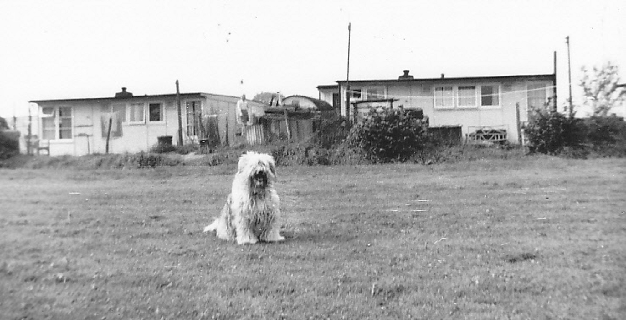
Reportedly one of the largest estates in the South East it was just one of many that sprang up throughout the country following the wholesale bombings of the early 1940’s.Three roads made up the lay-out of the estate, Houseland Road being the longest, Nutton Road ran part-way parallel to it up to Stound Road which connected the two at right-angles. Prefabs lined each side of all three roads with the inner sections divided up into several pedestrian “blocks”, each of these with a green area and large mature trees, (a legacy of the original farmland), running along the centre of a row of prefabs on each side side -Mirror Path Nutton Path, Houseland Path, Stound Path etc.
Around the perimeter of the estate, the prefabs were arranged in a series of squares along the outer side of the roads, each square having 6-8 buildings spaced on 3 sides around a central open area – alternately a green, then a shrubbery, then a green and so on, all the way along Houseland Road (from Marvels Lane), with the exception of the cul-de-sac which extended passed the junction with Nutton Road. This was where the ground sloped steeply away down to the bottom and prefabs were built in this section in straight lines. We used to call it “the speeding hill” – a challenge for little people on little bikes, even more so for little people on roller-skates !!
Back to Nutton Road the lay-out of prefabs along the outside perimeter continued in the same way, first a green and then a shrubbery, until about half-way where there stood “The Council Hut” – a wooden construction on stilts that resembled a tree-house without the tree, storage beneath. Here was kept all supplies for maintenance/repairs and the necessary mowers and garden equipment used by the council workers to maintain the open areas – be they greens for mowing or shrubberies for digging and trimming.
The building also housed a small office where requests for repairs were lodged and weekly rents paid by tenants. Behind was a fenced-off sub-station for the electricity supply.
Past “The Hut” the prefabs stood in a straight line to Stound Road ,which itself had a square on each side of the road before the T.junction with Grove Park Road.
Within the inner rectangles of the site, including the “blocks” (mentioned above), the lay-out was in straight lines – all prefabs having generous wrap-around gardens but perhaps the ones around the perimeter having somewhat larger areas than the others.
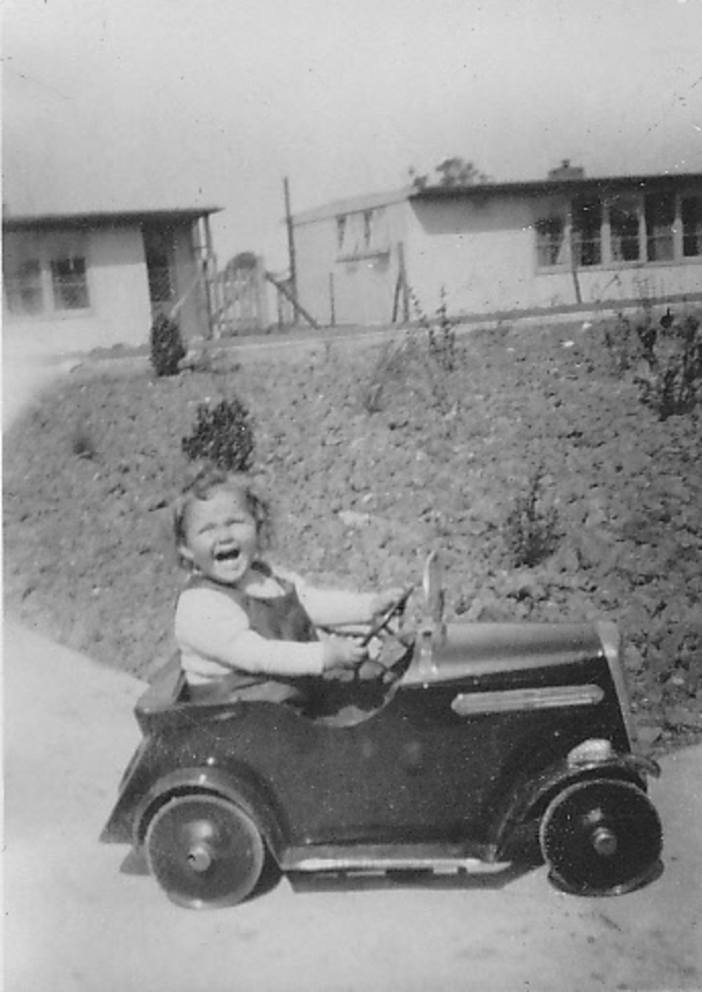
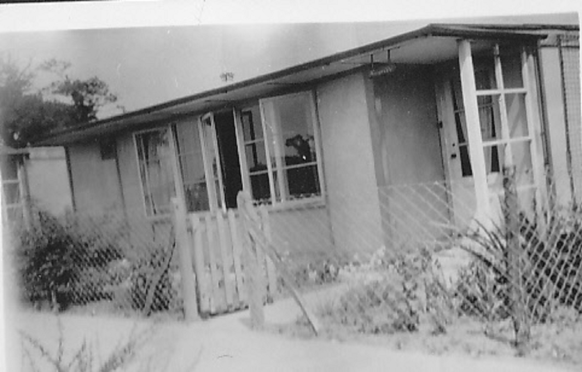
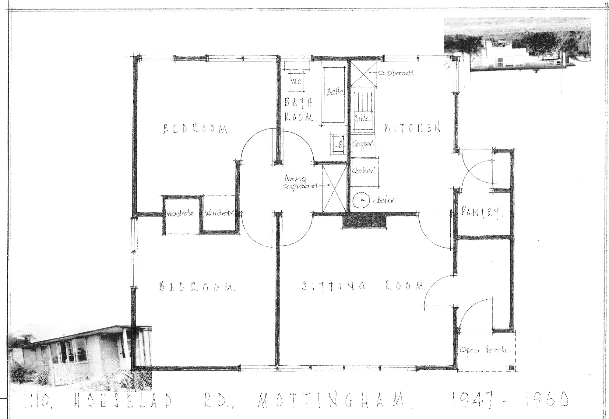
The move to 110, Houseland Road, Mottingham was just prior to the harsh Winter of 1947.
Our prefab was situated on the bottom end of Houseland Road just before the junction with Nutton Road, built facing east to west/rear to front and backing on to the open sports field it was in a prime position. We were in the last “square” before the straight line lay-out of the cul-de-sac, ours built around a shrubbery as you can see from the picture above. This newly-planted area of small bushes would eventually grow into very substantial shrubs that required regular cutting back but it did afford a pleasant outlook.
Ordnance Survey map of the prefab estate published 1950 https://maps.nls.uk/geo/explore/#zoom=18.0&lat=51.43140&lon=0.03300&layers=173&b=1
Historic England aerial photo of the estate https://historicengland.org.uk/images-books/archive/collections/aerial-photos/record/raf_cpe_uk_2053_v_5191
Further reading on the history of Mottingham https://en.wikipedia.org/wiki/Mottingham


No Comments
Add a comment about this page